Champlain Park
Champlain Park is an urban neighbourhood in Ottawa's Kitchissippi Ward. Wikipedia describes its boundaries as the Ottawa River to the north and Scott Street to the south, Tunney's Pasture to the east, and Island Park Drive and Westboro Beach to the west. In the 1930s it was considered the west end of town. The area was part of the police village of Ottawa West from 1912 until Ottawa annexed it in 1949. Most homes were built in the 1920s and 1930s, with the last development in the 1950s. The community association was incorporated in 1991.
The Champlain Park area has 1 neighbourhoods: and Champlain Park.
Updated · Facts on this page link to their sources
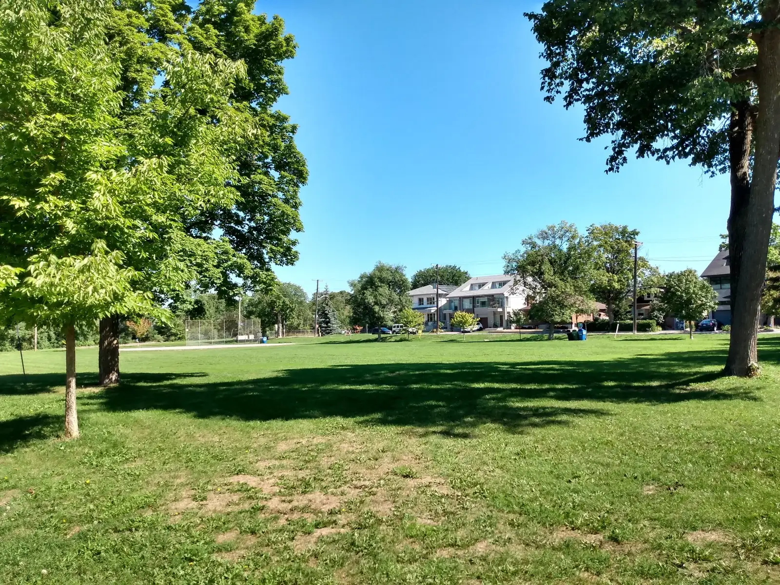
Champlain Park in Ottawa. Photo: Earl Andrew, CC BY-SA 4.0, via Wikimedia Commons 01Champlain Park
A small residential neighbourhood between the Ottawa River and Scott Street, with its own park, wading pool and rink.
Wikipedia gives the boundaries as the Ottawa River to the north and Scott Street to the south; to the east is Tunney's Pasture, and to the west is Island Park Drive, as well as Westboro Beach. Neighbourhood lines are informal.
Quick answers
Short answers first; each links to the full answer and its sources.
Is Champlain Park a good place to live?
Champlain Park is a small, established neighbourhood in Ottawa's Kitchissippi Ward, bounded by the Ottawa River to the north and Scott Street to the south. It had 1,090 residents in the 2016 census, and most of its homes were built in the 1920s and 1930s. St. George School is about 0.25 km away in a straight line, and the neighbourhood's own park is about 0.23 km away.
As of 2026-10 · en.wikipedia.org openstreetmap.org
What are homes like in Champlain Park?
Most homes in Champlain Park were built in the 1920s and 1930s, and the last development took place in the 1950s. The neighbourhood was part of the police village of Ottawa West until Ottawa annexed it in 1949.
As of 2026-10 · en.wikipedia.org
Where is Champlain Park and what are its boundaries?
Champlain Park is an urban neighbourhood in Ottawa's Kitchissippi Ward. The Ottawa River forms its northern boundary and Scott Street its southern one. Tunney's Pasture lies to the east, and Island Park Drive and Westboro Beach lie to the west.
As of 2026-10 · en.wikipedia.org openstreetmap.org
How many people live in Champlain Park?
As of the 2016 Canadian census, Champlain Park's population was 1,090. It is a small neighbourhood.
As of 2026-10 · en.wikipedia.org
What ward is Champlain Park in?
Champlain Park is in Ottawa's Kitchissippi Ward.
As of 2026-10 · en.wikipedia.org
Is Champlain Park walkable?
Several everyday places sit within about 1 km of the neighbourhood centre in a straight line. They include St. George School (0.25 km), Champlain Park (0.23 km), Metro (0.6 km), Farm Boy (0.8 km) and two O-Train stations (about 0.8 km each).
As of 2026-10 · openstreetmap.org openstreetmap.org